Government Unveils Expansion Plan for Kenya Institute of Surveying and Mapping to Boost Geoscience Training
CS Wahome commended the adoption of modern technology and teaching methods at the institute, adding that the graduates are well-placed to contribute meaningfully to the country’s development.

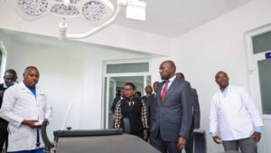
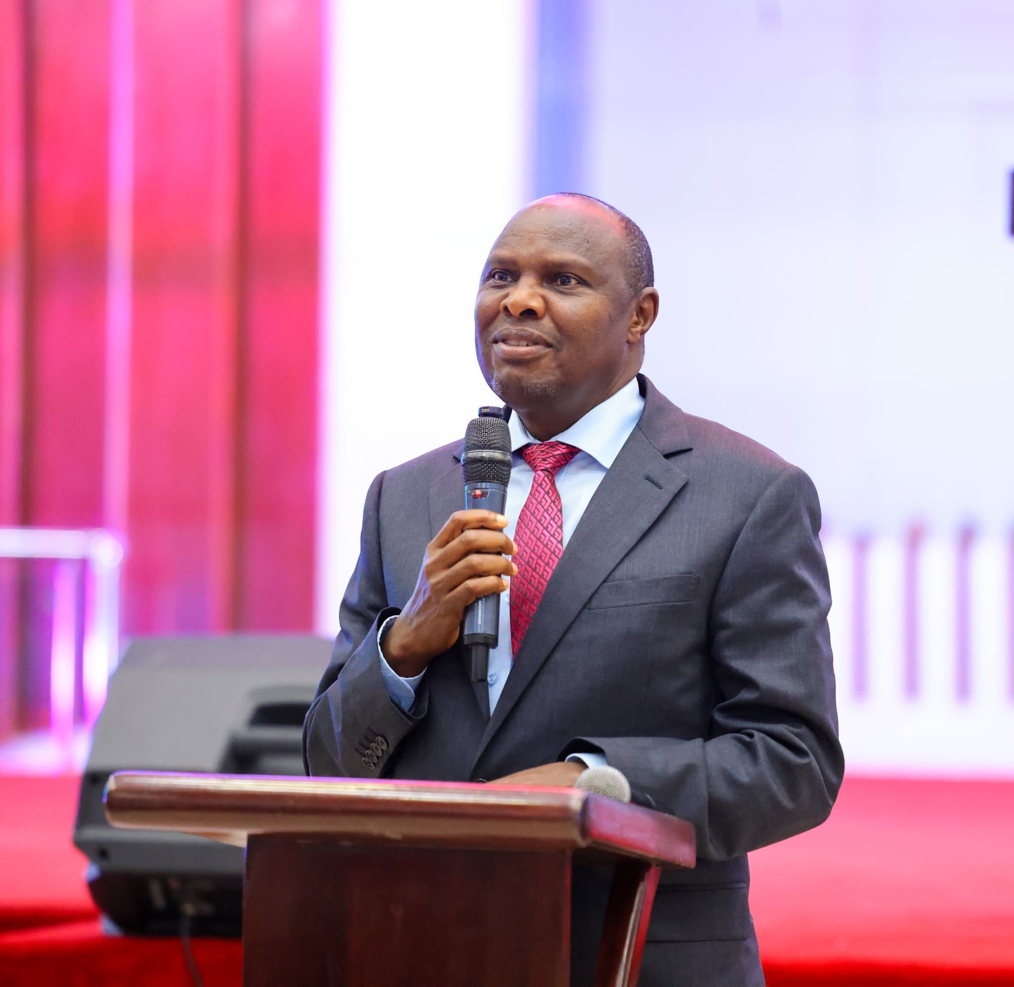
Lands Cabinet Secretary Alice Wahome with Principal Secretary Nixon Korir and KISM Director Jesse Waithak during the graduation ceremony at Kenya Institute of Surveying and Mapping (KISM) Photo/Courtesy
By Ruth Sang
The government has outlined an ambitious plan to expand Kenya Institute Of Surveying and Mapping KISM with the aim of increasing the capacity of the country in training professionals in geoscience disciplines crucial to national development. This announcement was made on Friday during the institution’s graduation ceremony, where 521 students were awarded diplomas and certificates.
Lands Cabinet Secretary Alice Wahome, who hosted the ceremony assisted by Lands and Physical Planning Principal Secretary Nixon Korir, said that through this expansion, the institute will not only increase learner admission but also enhance and strengthen training in specialist technical fields. She termed KISM as a cornerstone of geospatial learning in East and Central Africa, adding that its growth was now critical to support Kenya’s economic transformation agenda.
KISM is one of the region’s most reputable centres for geoscience education, offering both diploma and craft certificate programmes in Land Surveying, Photogrammetry, Remote Sensing, Cartography, and Print Technology. CS Wahome commended the adoption of modern technology and teaching methods at the institute, adding that the graduates are well-placed to contribute meaningfully to the country’s development.
“KISM has established itself as a geoscience leader across the region. Students here receive training using the latest technologies, including advanced remote sensing tools,” she said. The CS added that a number of graduates are expected to join government departments, while others will secure opportunities in the private sector and across neighbouring countries where geospatial skills are in high demand.
To accommodate this growing population and more students in the future, Wahome revealed plans to construct more student hostels. She added that the Ministry is working with the Ministry of Education to provide increased funding for KISM’s infrastructural and academic expansion.
The Principal Secretary Korir repeated that the government was committed to enhancing the capacity of the institute. He announced that the State Department for Lands and Physical Planning will send more teaching staff and transfer experts from other departments to meet the increasing instructional requirements. The PS pointed out that the enrollment of students at KISM has doubled over the past couple of years, a sure indication of increased interest in geoscience careers and an expanding job market.
“You now have the necessary competencies to seek employment in either government or private sector and even start your own companies,” the PS told the graduating class.
KISM Director Jesse Waithaka said the institute’s curriculum is tightly linked with Kenya’s priorities for development. He noted that it is responsive to changes in technology. He added that the surveying and mapping industry continued to be fast-moving and ensured their students learned using the latest tools and methodologies. The event last Friday brought together representatives from leading Kenyan universities and senior officials from Ardhi House, reflecting the increasing significance of geospatial professionals in shaping the future of Kenya.